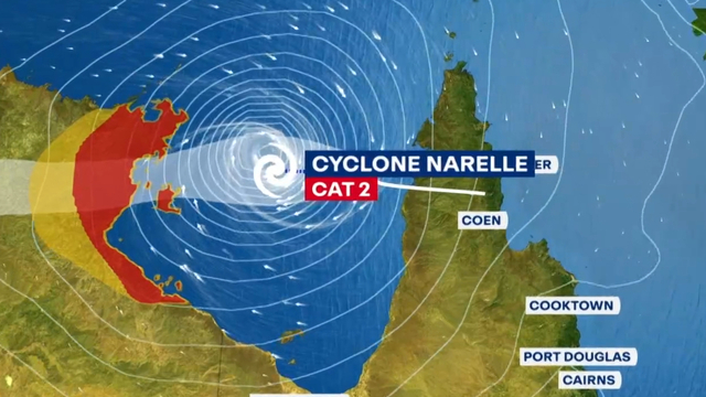
Felixnews.com – Tropical Cyclone Narelle has become a dangerous system near the coast of Western Australia in the Indian Ocean on Thursday (March 26).
The eye wall (center) of this tropical cyclone is now visible. Currently, Narelle is located 288 km west-northwest of Port Hedland, 206 km north-northwest of Karratha, and 397 km north-northeast of Exmouth.
According to the Australian Bureau of Meteorology (BOM), Tropical Cyclone Narelle continues to intensify, and severe impacts may occur along the western Pilbara and Gascoyne coasts.
In a BOM bulletin issued Thursday at 8:00 a.m. local time, the warning zone extends from Pardoo Roadhouse to Carnarvon, including Port Hedland, Karratha, Onslow, Exmouth, and Coral Bay, and extends inland to Pannawonica.
The watch zone extends from south of Carnarvon to Jurien Bay, including Denham and Geraldton, and extends inland to Gascoyne Junction, Murchison, Morawa, and Yalgoo.
Strong winds near the storm’s center are reaching 155 kilometers per hour with gusts up to 220 kilometers per hour, the Bureau of Meteorology said.
Narelle is moving southwest, roughly parallel to the Pilbara coast, bringing strong winds that extend all the way to the coast.
On Friday (March 27), the Bureau of Meteorology forecasts that Narelle will turn south, likely passing near North West Cape as a Category 4 cyclone.
Terdapat potensi dampak di pesisir Pilbara bagian barat mulai Kamis sore, meluas ke selatan hingga Denham pada hari Jumat.
Bahaya yang mengikuti seperti embusan angin yang sangat merusak hingga 275 km per jam dapat terjadi antara Exmouth dan Onslow pada Kamis sore saat Narelle bergerak lebih dekat ke North West Cape, kemudian meluas ke pesisir barat hingga Tanjung Cuvier pada Jumat pagi.
Carnarvon dapat mengalami embusan angin hingga 220 km per jam pada hari Jumat, dan embusan angin hingga 195 km per jam dapat meluas ke Denham pada Jumat sore atau Sabtu (28/3) pagi.
Hujan lebat yang dapat menyebabkan banjir bandang mungkin terjadi di bagian barat Pilbara dan Gascoyne saat Narelle bergerak melewatinya, kata Biro Meteorologi.
Selain itu, warga yang tinggal di pesisir antara Onslow dan Denham secara khusus diperingatkan tentang gelombang badai berbahaya, pasang surut, gelombang laut yang merusak, serta banjir.
Narelle telah bergerak ke arah barat daya dengan kecepatan 15 km per jam (8 knot) selama 6 jam terakhir. Tinggi gelombang signifikan maksimum adalah 11 meter (36 kaki), kata Pusat Peringatan Topan Gabungan (JTWC).